


Projekt 2
Projekt 2 Beschreibung
forschung
Projekt 3
Projekt 3 Beschreibung
öffentlicher sektor

„Optimisation multi-user measurements RTA/All-Weather-Drone“
Technical project report „Optimisation multi-user measurements RTA/All-Weather-Drone“ – Experimental tests under critical weather conditions are an essential part of the development and certification of aircraft. This also includes unmanned aerial vehicles such as multirotor systems, fixed-wing drones or VTOL UAVs. However, this type of testing is often associated with significant costs and time expenditure. It is therefore important to design experimental tests in a particularly efficient way in order to minimise costs for developers and/or operators […]
Read more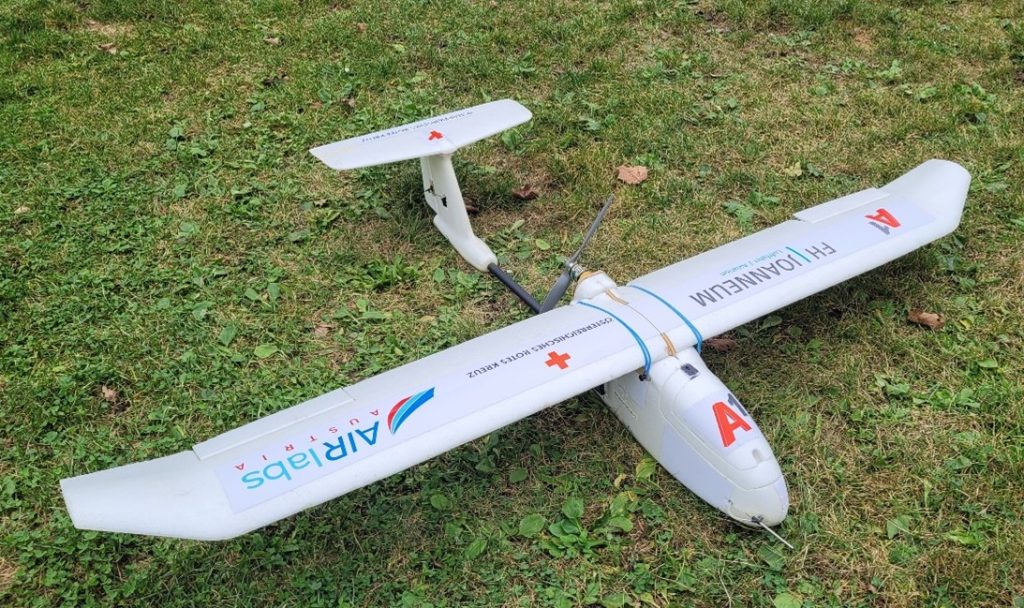
„A1 Red Cross POC“
Technical project report: “A1 Red Cross POC” – The use of UAVs can support emergency services in search and rescue operations. For example, dangers can be recognised from the air or people located in positions with poor visibility can be found. The aim of this project was to enable such missions under BVLOS (Beyond Visual Line of Sight) conditions using a 5G mobile network […]
Read more
“Swarm Init”
Technical project report “Swarm Init” – In this project, a drone from Lakeside Labs (LSL) was integrated into the infrastructure of the drone hall at the University of Klagenfurt (AAU). Previously, LSL drones could only be used for outdoor flights with GPS support. This project has made it possible for LSL drones to support other types of localisations. AAU’s drone hall offers an OptiTrack motion capture system […]
Read more